Drone Solutions
Confined Spaces Inspection
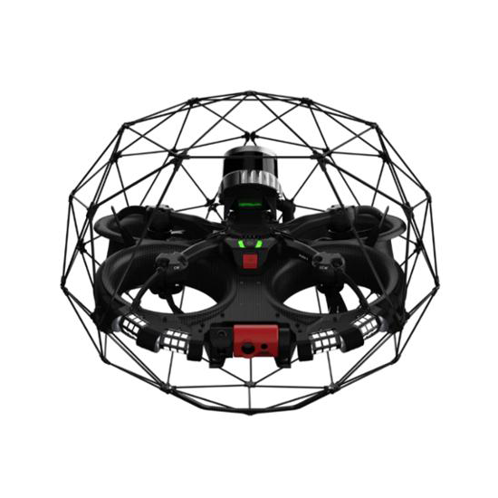
Drones are changing how inspections are done in confined and hazardous environments. Built to navigate tight, GPS-denied spaces, they offer a safer and more efficient alternative to traditional methods. With features like collision tolerance, real-time video, and 3D mapping, they enable detailed visual inspections without endangering personnel. Industries like oil & gas, mining, energy, and manufacturing benefit from reduced downtime, better accuracy, and improved safety.
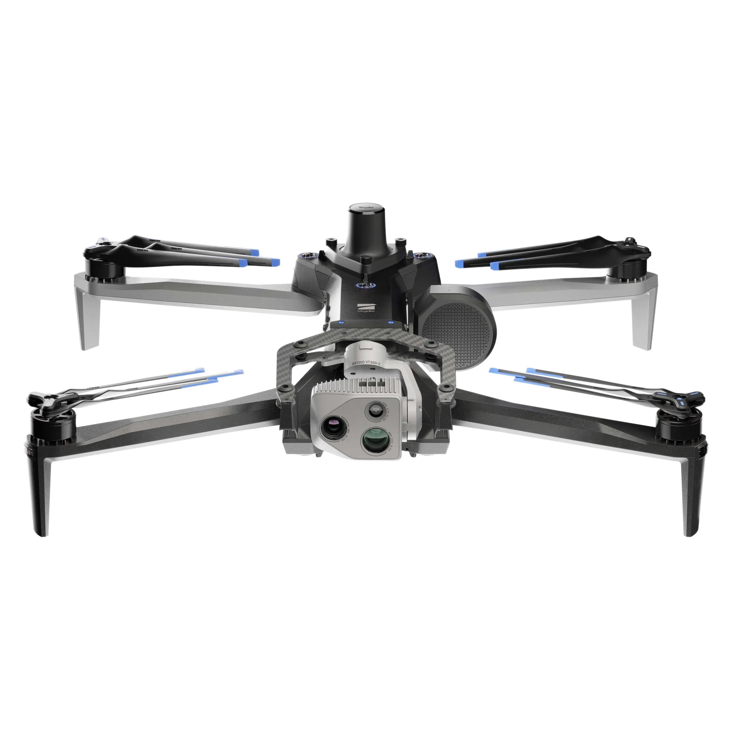
Autonomous Inspection & Intelligence
Autonomous drones with intelligent navigation systems are transforming the inspection landscape. Powered by AI flight control, real-time obstacle avoidance, and advanced imaging, they can safely and precisely inspect complex environments with minimal human involvement. From industrial facilities to critical infrastructure, these intelligent systems improve operational efficiency, reduce risks, and provide consistent, high-quality data for applications like surveillance, maintenance, and emergency response.
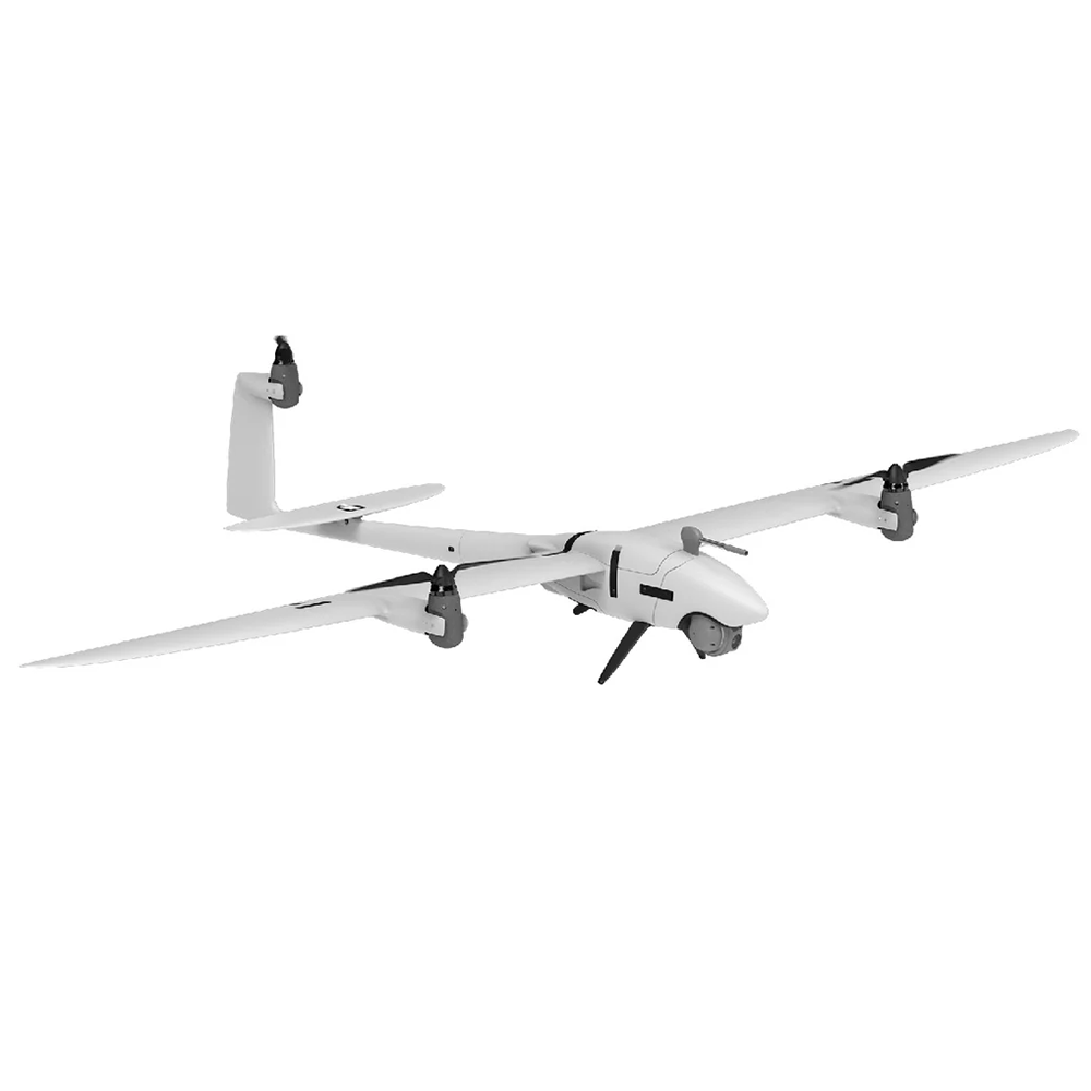
Precise Aerial Mapping & Surveying
Drones have redefined aerial mapping with their ability to capture high-resolution geospatial data quickly and accurately. With vertical take-off capability and support for various payloads, they streamline surveying workflows, enhance precision, and reduce operational costs across industries like agriculture, construction, and environmental monitoring.
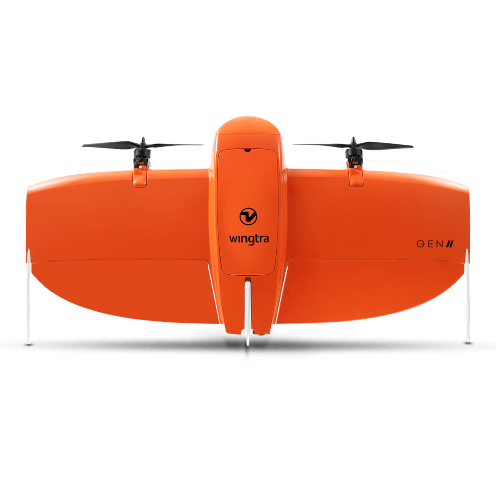
Drone technology has become a key tool for aerial surveying and geospatial data collection. With VTOL capabilities and advanced sensor integration, drones provide high-precision mapping results over large and challenging terrains. They help professionals achieve greater efficiency, reduce manual effort, and deliver consistent, accurate outputs across industries such as land development, mining, and environmental studies.
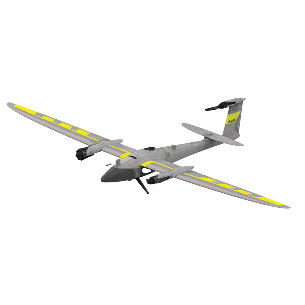
Surveillance & Reconnaissance
Drones play a vital role in modern intelligence, surveillance, and reconnaissance (ISR) operations. Designed for extended flight times and equipped with high-resolution sensors, they provide real-time situational awareness in both urban and remote environments. Whether used for tactical missions, border monitoring, or disaster response, drone-based ISR enhances decision-making, safety, and operational efficiency across defense and security sectors.